

Getting around Bedford, Texas means choosing between driving, biking and walking or rolling, with city parks and trails offering places to move around on foot.
From Bestway Inn, a two-star hotel, Bedford city centre takes about 23 minutes on foot or about 3 minutes by car; Pennington Field takes about 16 minutes on foot or about 3 minutes by car.
- Bedford has streets, sidewalks, bike lanes, paths and trails.
- East End Trail Park has a 1.5-mile walking and jogging trail.
- Generations Park at Boys Ranch has a 0.4-mile path around its lake.
Is Bedford walkable for visitors?
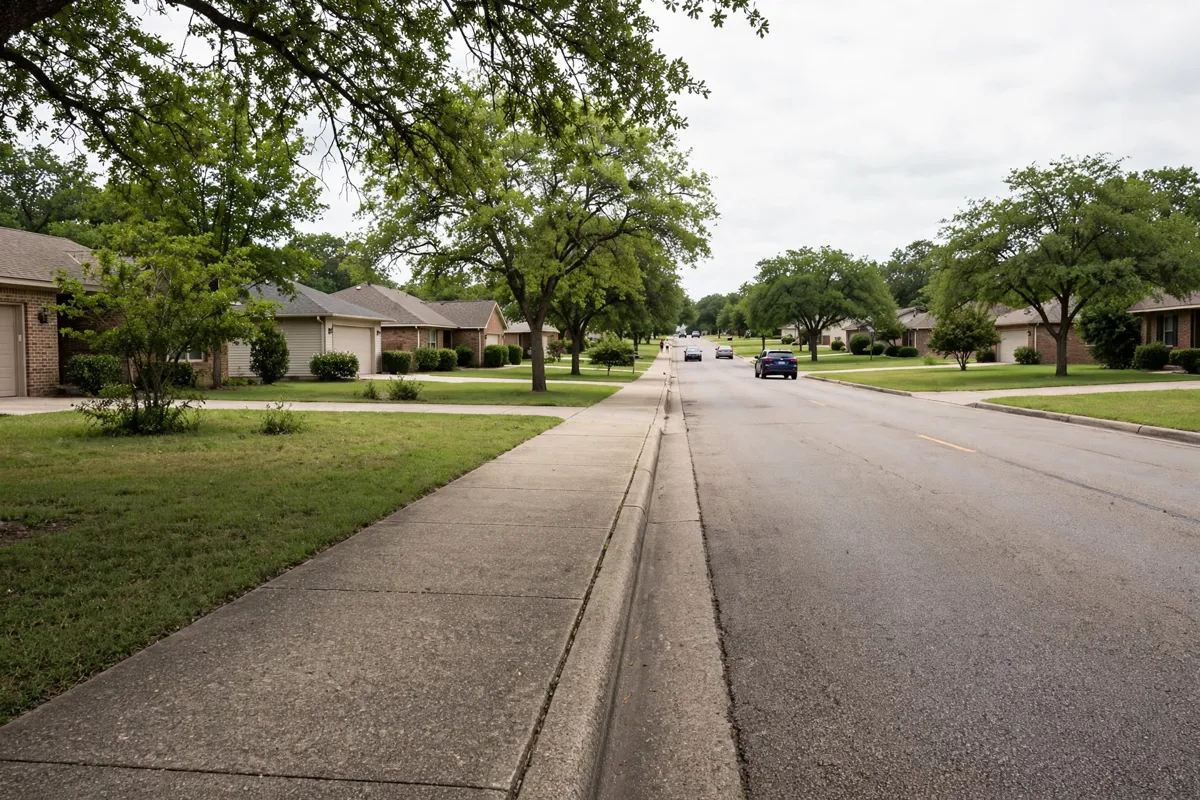
Bedford has sidewalks, paths and trails, but the city’s transportation options also include driving and biking. The city installs and maintains sidewalks for connectivity, safe routes to schools and recreation; it also has a process for requesting a sidewalk where one is missing.
For a walk on a defined trail, East End Trail Park has shaded areas, a picnic area with grills and a 1.5-mile trail. The 32-acre linear park is at 3700 Hastings Place, and its hours are daily, 5 a.m. to 11 p.m. Check the official site before you go.
Other options include the walking and jogging path at Harris Ryals Park, at 2700 Cummings Drive, and the walking path at Old Bedford School, at 2400 School Lane. Bedford has nine city parks open daily for use.
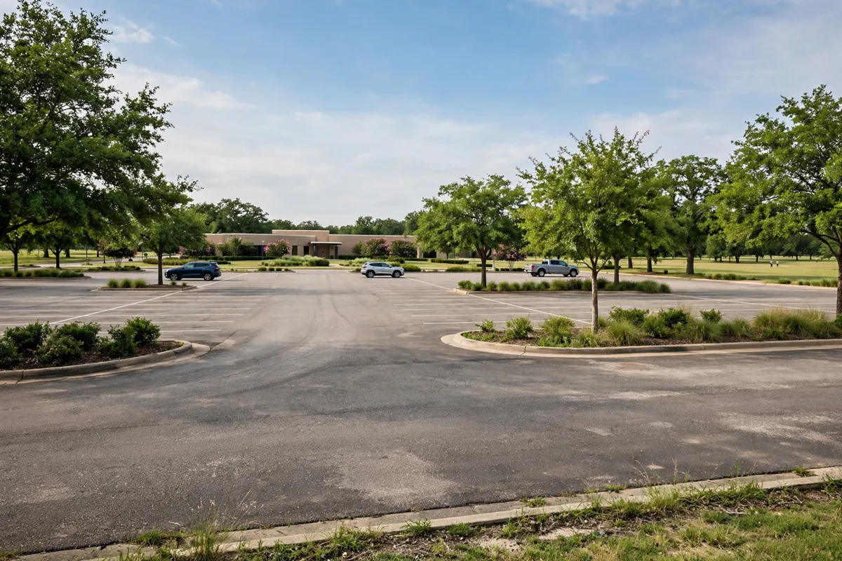
Driving and parking around Bedford
Driving is one of Bedford’s stated ways to get around. The DFW airport transportation guide for Bedford focuses on the journey from the airport: Dallas Fort Worth International Airport is about 15 minutes by car from Bedford, Fort Worth Meacham International Airport is about 31 minutes, and NAS Fort Worth JRB / Carswell Field is about 39 minutes. Waco Regional Airport is roughly 84.9 miles from Bedford.
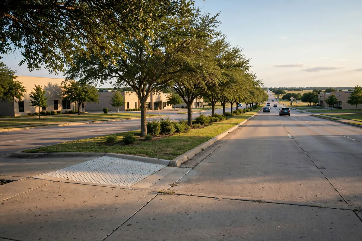
Local and regional public transit
Bedford’s transportation options include travel by car, bike, on foot or on wheels, and its trails accommodate walking, running and biking. The Linear Trails route follows an Oncor easement in northeast Bedford, with endpoints at Woodpark Lane and Forest Ridge Drive.
The Bedford Public Library, at 2424 Forest Ridge Drive, has parking and restrooms.
For a broader look at the area around the centre, the Bedford city-centre visitor guide covers that destination.
How do taxis and rideshares fit into a Bedford trip?
Bedford’s stated transportation options include car travel, but no local taxi or rideshare details are available here. If you plan to use an app-based ride or taxi, check directly with the provider for service and pickup details.
How do you get to nearby attractions?
Pennington Field is a local destination. The city’s parks offer additional outdoor destinations: Generations Park at Boys Ranch is a 68-acre park at 2801 Forest Ridge Drive, with a 0.4-mile jogging path around its lake.
For venue and arrival details, the Pennington Field guide covers the field.
FAQs
Does Bedford have places to walk or run?
Yes. Bedford has parks and trails for walking, running and biking, including East End Trail Park and trails at Generations Park at Boys Ranch.
Where can you walk in northeast Bedford?
The Linear Trails route follows an Oncor easement between Woodpark Lane and Forest Ridge Drive.
Is there parking at Bedford Public Library?
Yes. The Bedford Public Library has parking and restrooms on Forest Ridge Drive.
How far is Waco Regional Airport from Bedford?
Waco Regional Airport is roughly 84.9 miles from Bedford.